


Poor Jozi peeps! 8 months of M2 closures. That’s like having a puppy and not being able to cuddle it! We feel your ordeal and we dug around the interwebs for some solutions.
Wait, what? 8 MONTHS? Yes, and it’s for your safety, citizen.
ICYMI: M2 Bridge to be closed for reconstruction from Thursday, 28 February 2019 until October 2019. Motorists are advised to make alternative travel plans during this period of maintenance.
The following options are available for travel 👇 #M2FullClosure ^GZ pic.twitter.com/6fHd5PTMGL
— City of Joburg (@CityofJoburgZA) February 25, 2019
Where, exactly?
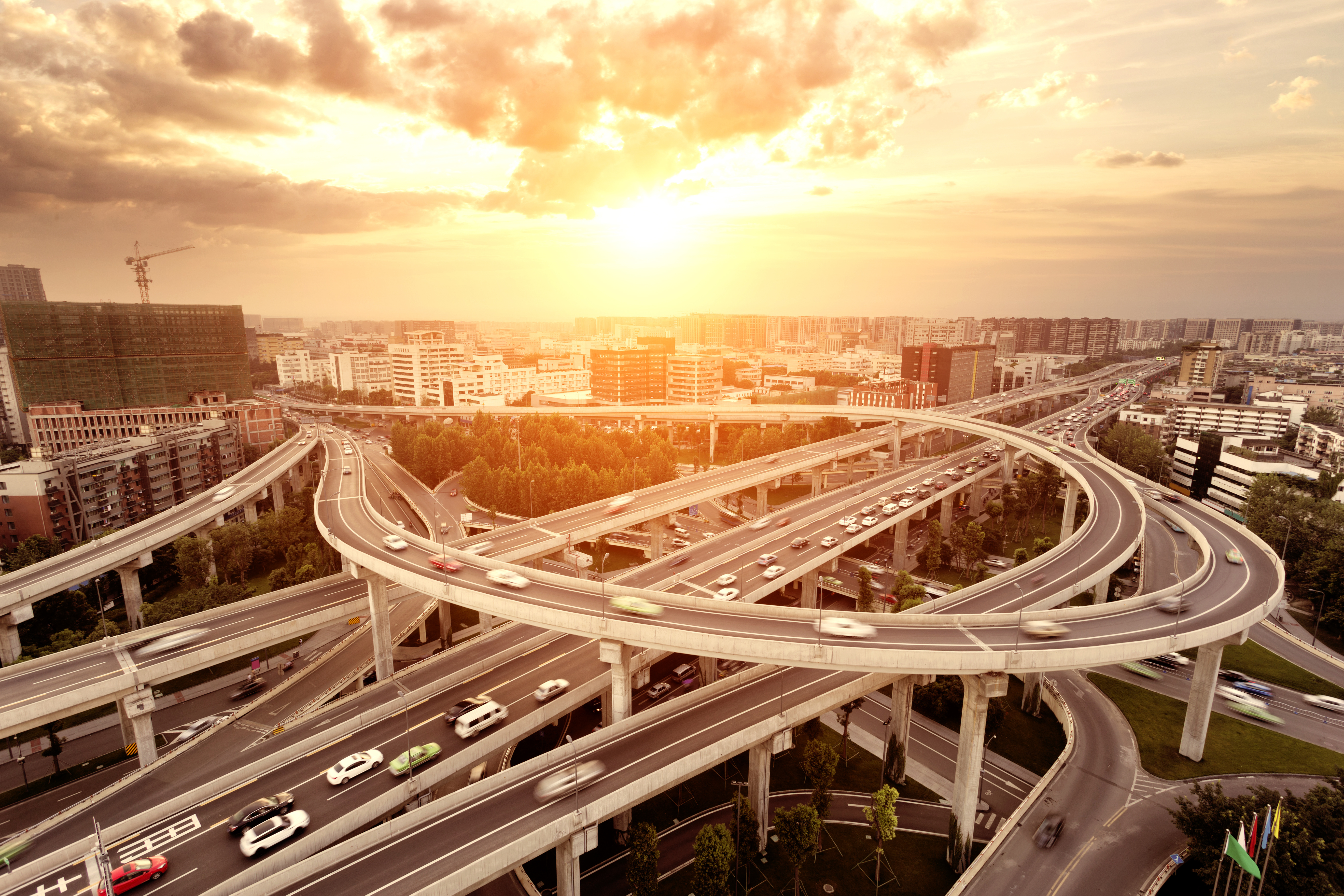
The Johannesburg Road Agency is shutting the M2 highway between the Crown Interchange and Maritzburg Street.
The mayor has been worried about the M2 bridge at Karzene and Selby for some time. The closure will allow for life-saving repairs and some wild re-routes.
Here are some official alternative routes
From the south of Johannesburg
#M2FullClosure ALTERNATIVE ROUTES TO THE M2 EASTBOUND OFF-RAMPS. M2 to travel east from the south of Johannesburg ^GZ pic.twitter.com/VIP7SqiKZJ
— City of Joburg (@CityofJoburgZA) February 25, 2019
From the north of Johannesburg
#M2FullClosure ALTERNATIVE ROUTES TO THE M2 EASTBOUND OFF-RAMPS. M2 to travel east from the north of Johannesburg ^GZ pic.twitter.com/mzWJkV1nFW
— City of Joburg (@CityofJoburgZA) February 25, 2019
These are just a few; the agency has published at least 2 more suggestions for alternate routes from the east and west which you can find here
Other ways to find (or create) alternate routes on your phone
- Google maps (iOS + Android) - will offer you options like the time you’d like to arrive and if you aren’t satisfied with its routes, you can insert destinations along the way with ‘via (place name)”
- Maps (iPhone only) - will take you there, intelligently. It works the same way as Google maps
- Waze app (iOS + Android) - is wonderful for up-to-the-minute info on roads and arriving on time. It works particularly well in large urban centres which have more drivers reporting events real-time. You'll see warnings about roadblocks, accidents, traffic cameras, congestion, and ETAs that take this congestion into account. It can also help you pick alternate routes that really save the day. Check it out and log in for full perks.
Concerned about other closures or delays? Check out the latest traffic news for Gauteng from News 24 here (and if you’re in another urban centre in SA, you can check it, too).
No better time to carpool, eh? And get into playlists in a big way. Join the conversation here.
And remember to dock that phone if you’re the one driving…
